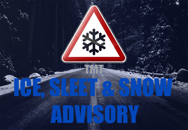
TMT WEATHER UPDATE 11PM, SUNDAY, 10 MARCH 2013
VALID FROM 11PM 10 MARCH
VALID FROM 11PM 10 MARCH
UNTIL 12PM 12 MARCH
Snow streamers will develop over the Irish sea and will push well inland to affect parts of east Munster, east Connacht, east Ulster and Leinster overnight. Showers will be heavy and most frequent over Leinster and east Ulster around dawn and through much of Monday.
Snow streamers will develop over the Irish sea and will push well inland to affect parts of east Munster, east Connacht, east Ulster and Leinster overnight. Showers will be heavy and most frequent over Leinster and east Ulster around dawn and through much of Monday.
Accumulations of snow are likely even at sea level in these areas. Due to the strength of the winds during the first half of tomorrow some showers will reach the west coast but will be much lighter here. The strong winds will also lead to blowing snow making driving difficult particularly in eastern seaboard counties.
Overnight temperatures tomorrow night will dip between -2c and -6c and possibly lower where there is lying snow.
NOTE: Due to the unpredictable nature of streamers (similar to lake effect snow), some areas will see more snowfall than others. Keep an eye on our precipitation radar.
This alert is an update to our original advisory from Thursday (read).
The Meteo Times daily long range weather forecast contains further details in relation to the coming week’s weather in Ireland. Click here to view.
USEFUL LINKS:
Find out what altitude you live at here
Tweets about "#irlsnow"


